

















Geospatial Data Processing, Remote Sensing, Geographic Information Systems (GIS), Artificial Intelligence (AI), Image Annotation
 Geospatial Tiled Imagery
 Segmentation
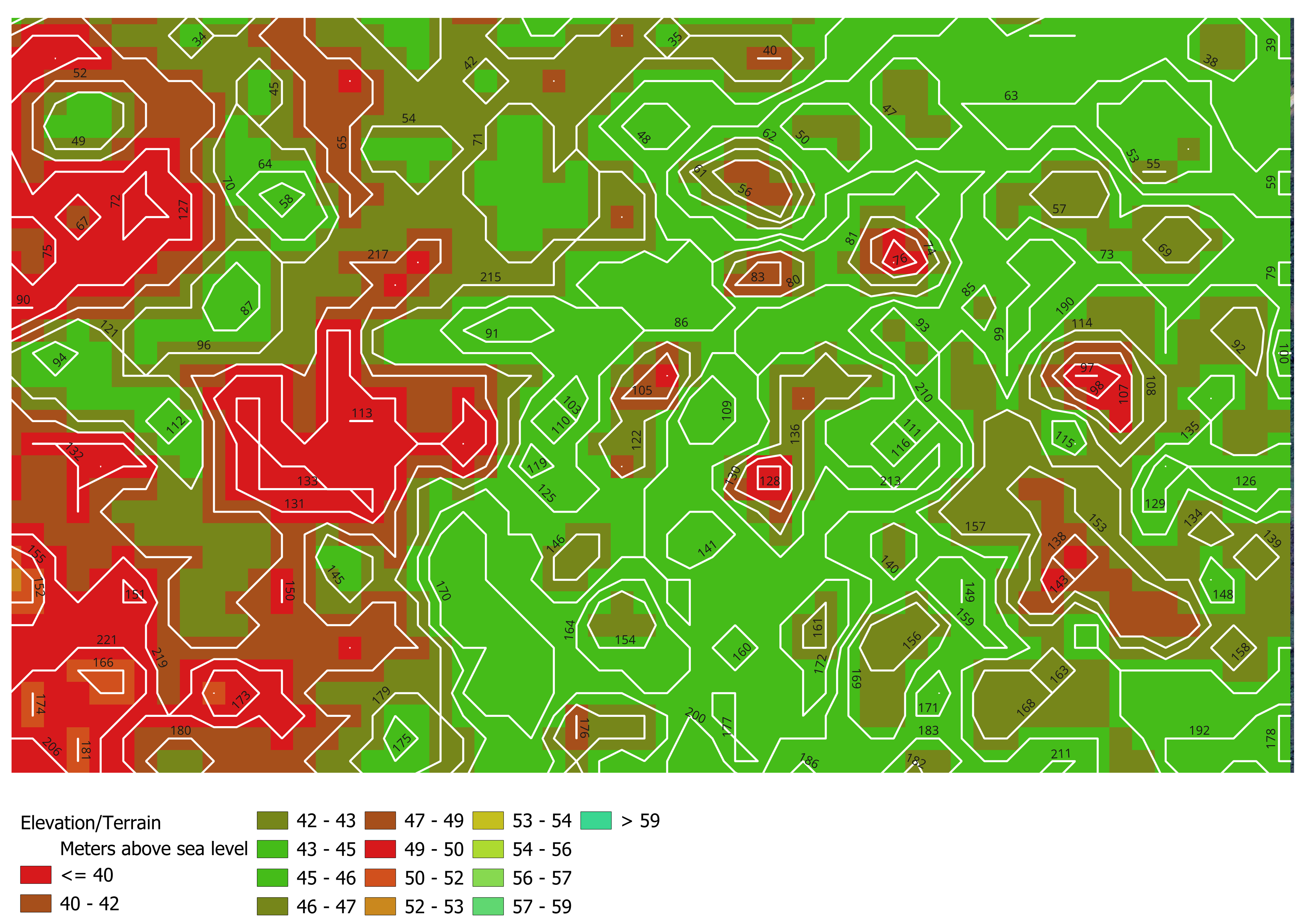
This project involves the processing, annotation, and analysis of geospatial tiled imagery for mapping, spatial intelligence, and AI model training purposes. Tasks include image classification, feature identification, data labeling, quality assurance, and the organization of high-resolution tiled imagery datasets to support geographic and environmental analysis. The project also focuses on maintaining data accuracy, spatial consistency, and annotation quality to enhance the performance of machine learning models, geospatial applications, and digital mapping systems used in environmental monitoring, urban planning, infrastructure development, and related sectors.
2024 - Present
 Document