
Geospatial Solutions Specialist
 Image
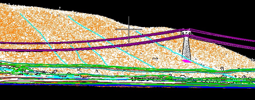
Image Classification
You work at Cartocean as a geospatial solutions specialist focused on processing, analyzing, and generating technical deliverables from complex spatial inputs. Your responsibilities include transforming aerial, satellite, and LiDAR data into accurate, visual, and actionable information for technical, strategic, and commercial decision-making. You apply high-precision workflows in aerial photogrammetry, LiDAR processing, GIS, 3D modeling, and reality capture using industry-standard software and quality controls. • Process and model geospatial datasets (aerial imagery, satellite data, LiDAR point clouds, GNSS, and base cartography). • Perform triangulation, ortho-rectification, and generation of classic and true orthophotos from terrain/surface models. • Conduct LiDAR classification, vectorization, and deliverable generation, ensuring geometric accuracy and traceability. • Support mapping-to-cadastre integration through consistency checks, boundary corrections, attribute integration, and SIG platform readiness.